Help Name City's Longest Path
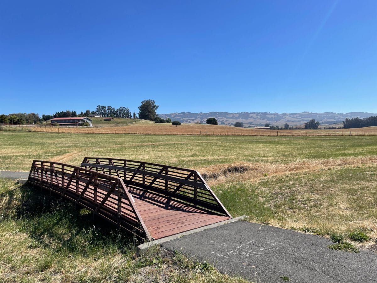
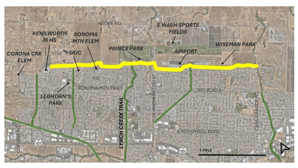
City staff need your help to name Petaluma’s longest path, running three and a half miles along the city’s eastern edge.
This multi-use path paralleling the urban growth boundary – with suburbia and schools on one side and fields, cows, and an airport on the other – spans from Kenilworth Junior High School to Casa Grande Road.
The pathway naming nomination form is open now through July 5.
After the nomination period ends, staff will present the options to the Recreation, Music and Parks Commission. The Commission will make a recommendation to the City Council, which has final authority on the name.
“Naming the pathway will give it the recognition it deserves and help generate additional awareness around this special amenity,” the city’s web page reads. “The City has grant funding to install signs on our streets and pathways in 2027 that help people more easily navigate the City by foot and bike, an effort that will be more effective if the pathway has a name.”
The city is looking for names that are descriptive or creative, with an emphasis on geography and/or local history. For more information, visit https://cityofpetaluma.org/pathway-naming.